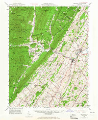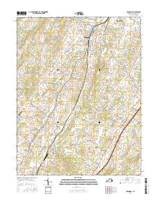
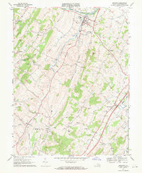
1967 Map of Broadway
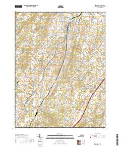
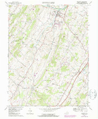
USGS Topo · Published 1980About this map
The North Fork Shenandoah River anchors the northern edge of this landscape, with the town of Broadway serving as a significant rail and commercial hub along the Southern railroad line. This late 1960s survey captures a patchwork of small agricultural communities and family-named landmarks across the Shenandoah Valley, including Linville, Lacey Spring, and the settlement of Zenda. The region is marked by numerous country churches such as Trissel Ch and Pine Grove Ch, which stand as centers for rural life alongside local institutions like Myers Sch. An unusual feature of the period is the State Prison Camp No 8 located near Hightown. Geologically, the area is defined by its limestone hydrology, evidenced by the presence of Melrose Caverns and numerous springs like Tide Spring Branch.
Find a feature on this map
44 named features on this map. Tap any name to fly to it.
Don’t see what you’re looking for? This feature index may not catch every label — zoom into the map to look around manually.
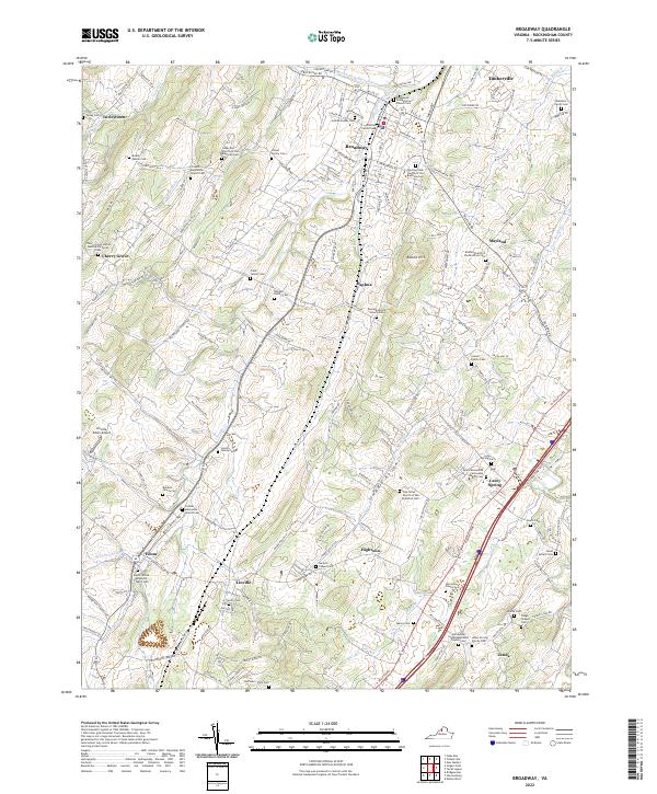
Map Details
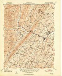
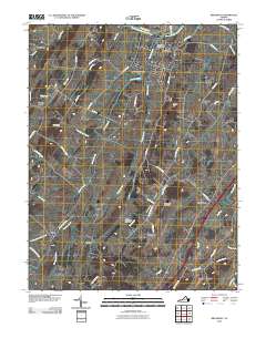
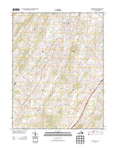
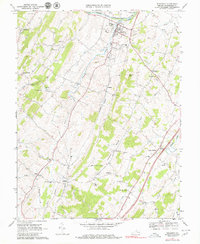
Editions of this 1967 Broadway Map
3 editions found
Historical Maps of Broadway Through Time
8 maps found