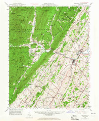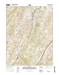
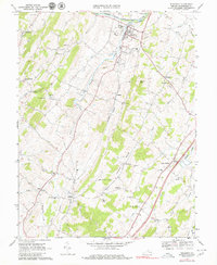
1967 Map of Broadway
USGS Topo · Published 1969About this map
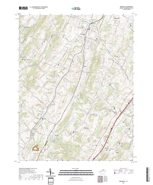
Broadway and the surrounding Rockingham County countryside are defined by a network of rural settlements and winding waterways in the late 1960s. The North Fork Shenandoah River cuts through the northern landscape, while the Southern railroad line follows the path of Linville Creek through the towns of Linville and Daphna. This period shows a high density of rural institutions, including Trissel Ch, Mt Tabor Ch, and the Linville-Edom Sch, which speak to the area's established community identity. The map captures a mix of geographic features like Tide Spring and human landmarks such as Melrose Caverns and the State Prison Camp No 8. These details, combined with numerous farm-related fence and field lines, illustrate the agricultural character of the Shenandoah Valley before significant modern expansion altered the original property boundaries.
Find a feature on this map
48 named features on this map. Tap any name to fly to it.
Don’t see what you’re looking for? This feature index may not catch every label — zoom into the map to look around manually.
Map Details
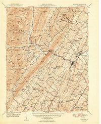
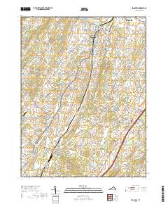
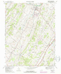
Editions of this 1967 Broadway Map
3 editions found
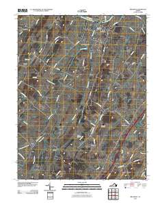
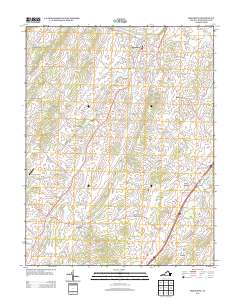
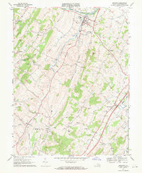
Historical Maps of Broadway Through Time
8 maps found