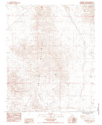
1985 Map of Broadwell Mesa
USGS Topo · Published 1985About this map
Bristol Mountains dominate this Mojave Desert landscape, characterized by high-elevation ridges and intricate desert washes. The topography is defined by the massive basaltic platform of Broadwell Mesa, which creates a stark plateau above the surrounding basin. This mid-1980s provisional survey highlights the sparse but critical water sources and geologic landmarks that defined movement through this arid region. Life and activity in this corner of San Bernardino County are marked by isolated features like Hyten Spring and a notable Natural Arch, suggesting a landscape where survival and navigation depended entirely on these few identifiable points. Evidence of human industry appears only as a single Mine located in the northern reaches, emphasizing the specialized and temporary nature of settlement in this part of the California desert.
Find a feature on this map
5 named features on this map. Tap any name to fly to it.
Don’t see what you’re looking for? This feature index may not catch every label — zoom into the map to look around manually.
Map Details
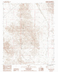
Editions of this 1985 Broadwell Mesa Map
2 editions found
Other maps of this area

1910 · Ivanpah
USGS Topo · 1:250,000

1912 · Ivanpah
USGS Topo · 1:250,000

1933 · Avawatz Mountains
USGS Topo · 1:250,000

1942 · Ivanpah
USGS Topo · 1:250,000

1942 · Amboy
USGS Topo · 1:250,000

1943 · Amboy
USGS Topo · 1:250,000

1947 · Trona
USGS Topo · 1:250,000

1947 · Kingman
USGS Topo · 1:250,000

1948 · Kingman
USGS Topo · 1:250,000

1948 · Trona
USGS Topo · 1:250,000