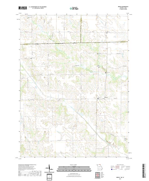
2021 Map of Brock
USGS Topo · Published 2021About this map
The N Wyaconda River and S Wyaconda River define the rural topography of the borderlands between Missouri and Iowa. This landscape, centered on the small settlement of Brock, is heavily marked by its genealogical history, containing numerous burial grounds that reflect generations of local settlement. From the Hubbard Cem and South Prairie Cem in the north to the South Bethel Cem at the southern edge, these sites are dispersed among the various forks and tributaries such as Billups Br, Cook Cr, and Gunns Br. The map highlights a network of state routes including State Hwy EE and State Hwy H, which connect the scattered homesteads and agricultural plots of Scotland, Van Buren, and Davis counties. The presence of the small I B Lake and the branching waters of Pony Cr emphasize the importance of drainage in this dissected plateau region.
Find a feature on this map
34 named features on this map. Tap any name to fly to it.
Don’t see what you’re looking for? This feature index may not catch every label — zoom into the map to look around manually.
Map Details
Editions of this 2021 Brock Map
This is the sole edition of this map. No revisions or reprints were ever made.
Historical Maps of Iowa Through Time
10 maps found

1965 Greensburg
Scotland County, MO
1966 Bible Grove
Scotland County, MO
1970 Azen
Scotland County, MO
1970 Brock
Scotland County, MO
1980 Kilwinning
Scotland County, MO
2021 Azen
Scotland County, MO
2021 Bible Grove
Scotland County, MO
2021 Brock
Scotland County, MO
2021 Greensburg
Scotland County, MO
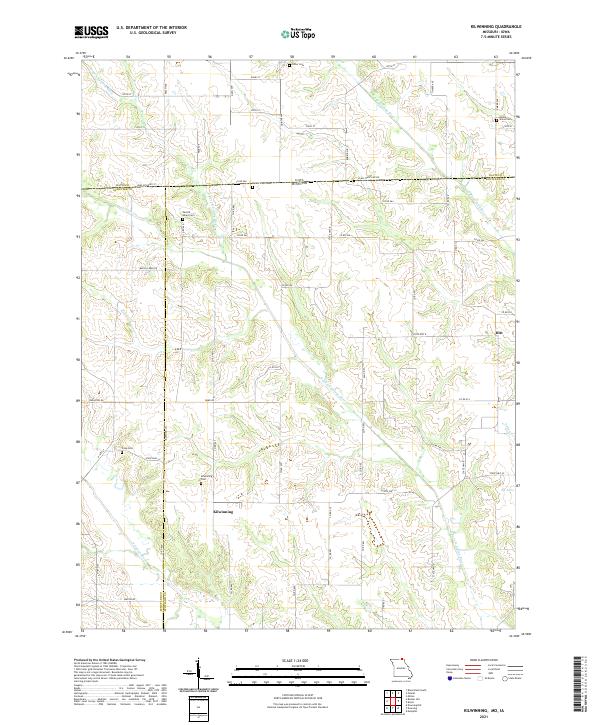
2021 Kilwinning
Scotland County, MO