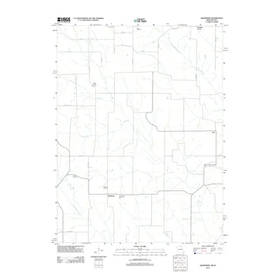
2021 Map of Azen
USGS Topo · Published 2021About this map
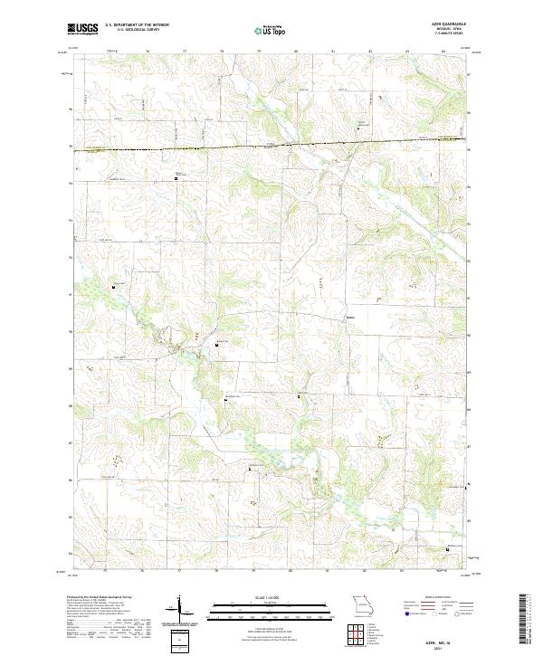
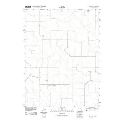
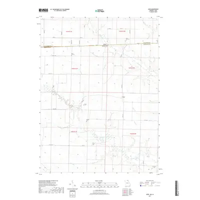
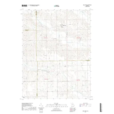
Azen sits at the intersection of local routes in a landscape defined by the branching waterways of Scotland County. The boundary between Iowa and Missouri cuts across the northern section of the sheet, dividing the townships of t67n r11w and t67n r10w. This survey provides a precise look at a rural region where small family and community cemeteries serve as primary landmarks. These sites, such as North Upton Cem and Mc Henry Cem, are often located near the winding courses of the N Wyaconda River and the Little Fox River. The map documents a dense network of country roads including Humphrey Blvd and Gray Ave, connecting isolated farmsteads and agricultural plots that have remained the foundation of the local economy for generations.
Find a feature on this map
40 named features on this map. Tap any name to fly to it.
Don’t see what you’re looking for? This feature index may not catch every label — zoom into the map to look around manually.
Map Details
Editions of this 2021 Azen Map
This is the sole edition of this map. No revisions or reprints were ever made.
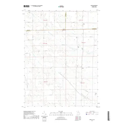
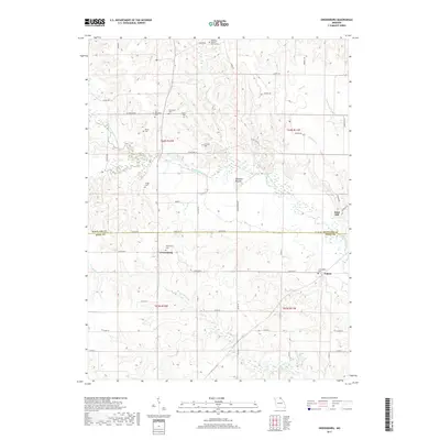
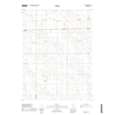
Historical Maps of Azen Through Time
28 maps found
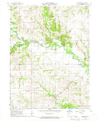
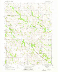
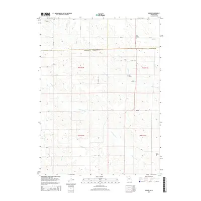
1965 Greensburg
Scotland County, MO
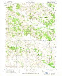
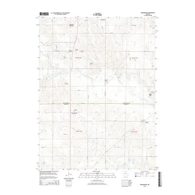
1966 Bible Grove
Scotland County, MO
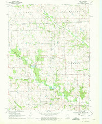
1970 Azen
Scotland County, MO
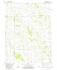
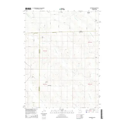
1970 Brock
Scotland County, MO
1980 Kilwinning
Scotland County, MO
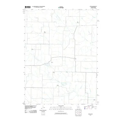
2010 Azen
Scotland County, MO
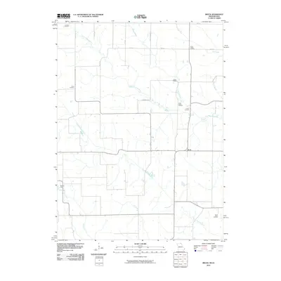
2010 Brock
Scotland County, MO
2010 Kilwinning
Scotland County, MO
2012 Azen
Scotland County, MO
2012 Bible Grove
Scotland County, MO
2012 Brock
Scotland County, MO
2012 Greensburg
Scotland County, MO
2012 Kilwinning
Scotland County, MO
2015 Azen
Scotland County, MO
2015 Bible Grove
Scotland County, MO
2015 Brock
Scotland County, MO
2015 Greensburg
Scotland County, MO
2015 Kilwinning
Scotland County, MO
2017 Azen
Scotland County, MO
2017 Bible Grove
Scotland County, MO
2017 Brock
Scotland County, MO
2017 Greensburg
Scotland County, MO
2017 Kilwinning
Scotland County, MO
2021 Azen
Scotland County, MO
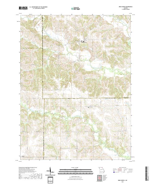
2021 Bible Grove
Scotland County, MO
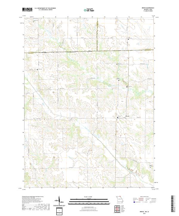
2021 Brock
Scotland County, MO
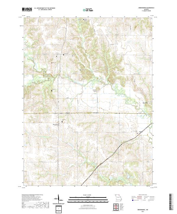
2021 Greensburg
Scotland County, MO
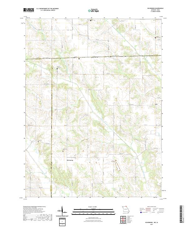
2021 Kilwinning
Scotland County, MO