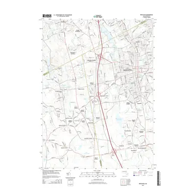
2015 Map of Brockton
USGS Topo · Published 2015About this map
Brockton serves as the central hub of this survey, surrounded by a dense network of residential and commercial corridors that extend into neighborhoods like Montello and Campello. The landscape is defined by its industrial and social history, evidenced by the high concentration of burial grounds such as Saint Patricks Cem and Union Cem. To the west, the campus of Stonehill Coll sits near the many ponds of Easton, including Ames Pond and Shovelshop Pond.
Find a feature on this map
85 named features on this map. Tap any name to fly to it.
Don’t see what you’re looking for? This feature index may not catch every label — zoom into the map to look around manually.
Map Details
Editions of this 2015 Brockton Map
This is the sole edition of this map. No revisions or reprints were ever made.
Other maps of this area

1885 · Abington
USGS Topo · 1:62,500

1885 · Middleboro
USGS Topo · 1:62,500

1885 · Taunton
USGS Topo · 1:62,500

1886 · Dedham
USGS Topo · 1:62,500

1888 · Taunton
USGS Topo · 1:62,500

1888 · Middleboro
USGS Topo · 1:62,500

1888 · Abington
USGS Topo · 1:62,500

1893 · Abington
USGS Topo · 1:62,500

1893 · Taunton
USGS Topo · 1:62,500

1893 · Middleboro
USGS Topo · 1:62,500