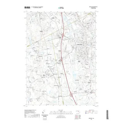
2021 Map of Brockton
USGS Topo · Published 2021About this map
Stonehill College sits at the heart of this landscape, surrounded by a dense network of historical settlements and family burial grounds. The area is defined by its transition from the urban center of Brockton to the outlying corners of South Easton, North Easton, and West Bridgewater. Genealogists will find a high density of named cemeteries, including the Old Burying Ground Cem, George Fergusson Burying Ground Cem, and the Elijah Copeland Graveyard.
Find a feature on this map
107 named features on this map. Tap any name to fly to it.
Don’t see what you’re looking for? This feature index may not catch every label — zoom into the map to look around manually.
Map Details
Editions of this 2021 Brockton Map
This is the sole edition of this map. No revisions or reprints were ever made.
Other maps of this area

1885 · Abington
USGS Topo · 1:62,500

1885 · Middleboro
USGS Topo · 1:62,500

1885 · Taunton
USGS Topo · 1:62,500

1886 · Dedham
USGS Topo · 1:62,500

1888 · Taunton
USGS Topo · 1:62,500

1888 · Middleboro
USGS Topo · 1:62,500

1888 · Abington
USGS Topo · 1:62,500

1893 · Abington
USGS Topo · 1:62,500

1893 · Taunton
USGS Topo · 1:62,500

1893 · Middleboro
USGS Topo · 1:62,500