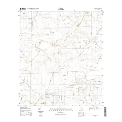
2015 Map of Brooker
USGS Topo · Published 2015About this map
Brooker sits near the southern edge of this North Central Florida landscape, positioned at a junction of roads and the local creek system. The terrain is defined by the winding course of the New River, which serves as a natural boundary between Union and Bradford Counties before it eventually feeds into the Santa Fe River. This hydrology, including Richard Cr and Fivemile Cr, dictates the layout of the rural road network and the placement of early settlements.
Find a feature on this map
97 named features on this map. Tap any name to fly to it.
Don’t see what you’re looking for? This feature index may not catch every label — zoom into the map to look around manually.
Map Details
Editions of this 2015 Brooker Map
This is the sole edition of this map. No revisions or reprints were ever made.
Other maps of this area
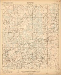
1918 · Lawtey
USGS Topo · 1:62,500
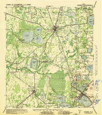
1941 · Starke
USGS Topo · 1:62,500
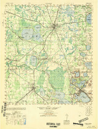
1948 · Starke
USGS Topo · 1:50,000
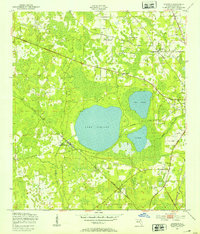
1949 · Sampson
USGS Topo · 1:24,000
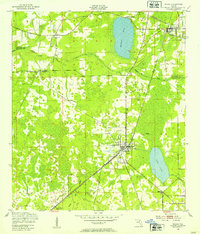
1949 · Waldo
USGS Topo · 1:24,000
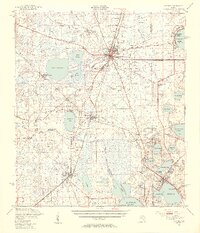
1949 · Starke
USGS Topo · 1:62,500

1954 · Gainesville
USGS Topo · 1:250,000
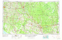
1954 · Valdosta
USGS Topo · 1:250,000
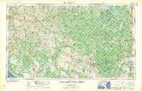
1958 · Valdosta
USGS Topo · 1:250,000

1958 · Gainesville
USGS Topo · 1:250,000