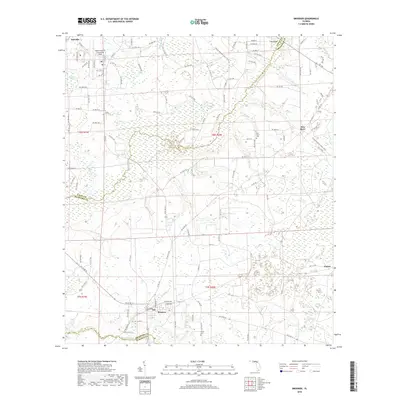
2018 Map of Brooker
USGS Topo · Published 2018About this map
Brooker serves as a central hub in this north-central Florida landscape, situated near the confluence of local history and the marshy hydrology of the Santa Fe River and Sampson River basins. The terrain is characterized by complex wetlands and drainage networks, including Mud Swamp and Braggs Br, which define the agricultural and residential patterns of the area. Traces of early industrial activity are visible through features like Dekles Millpond in the northwest, while the presence of the New River Cem and Dedan Cem offers significant points of interest for genealogists tracking families from the Danville and Clayno settlements. The map also delineates the jurisdictional boundaries where Union, Bradford, and Alachua counties meet, illustrating the rural road network that connects these disparate communities across the river-laced plains.
Find a feature on this map
94 named features on this map. Tap any name to fly to it.
Don’t see what you’re looking for? This feature index may not catch every label — zoom into the map to look around manually.
Map Details
Editions of this 2018 Brooker Map
This is the sole edition of this map. No revisions or reprints were ever made.
Other maps of this area

1918 · Lawtey
USGS Topo · 1:62,500

1941 · Starke
USGS Topo · 1:62,500

1948 · Starke
USGS Topo · 1:50,000

1949 · Sampson
USGS Topo · 1:24,000

1949 · Waldo
USGS Topo · 1:24,000

1949 · Starke
USGS Topo · 1:62,500

1954 · Gainesville
USGS Topo · 1:250,000

1954 · Valdosta
USGS Topo · 1:250,000

1958 · Valdosta
USGS Topo · 1:250,000

1958 · Gainesville
USGS Topo · 1:250,000