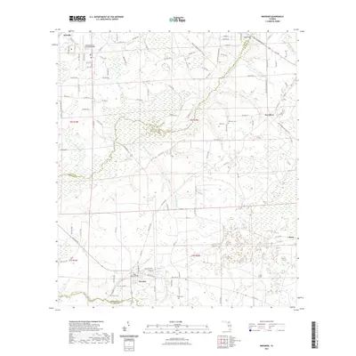
2021 Map of Brooker
USGS Topo · Published 2021About this map
Brooker sits near the southern edge of this North Central Florida landscape, where the rural street grid of Michigan Ave and Charlotte Ave meets the wetland terrain of Mud Swamp. The area is defined by its complex hydrography, notably the New River which flows across the northeast, and the waters of Lake Butler Cr and Richard Cr. These waterways historically shaped the settlement patterns of Bradford and Alachua counties, leaving behind small communities such as Danville and Clayno.
Find a feature on this map
102 named features on this map. Tap any name to fly to it.
Don’t see what you’re looking for? This feature index may not catch every label — zoom into the map to look around manually.
Map Details
Editions of this 2021 Brooker Map
This is the sole edition of this map. No revisions or reprints were ever made.
Other maps of this area

1918 · Lawtey
USGS Topo · 1:62,500

1941 · Starke
USGS Topo · 1:62,500

1948 · Starke
USGS Topo · 1:50,000

1949 · Sampson
USGS Topo · 1:24,000

1949 · Waldo
USGS Topo · 1:24,000

1949 · Starke
USGS Topo · 1:62,500

1954 · Gainesville
USGS Topo · 1:250,000

1954 · Valdosta
USGS Topo · 1:250,000

1958 · Valdosta
USGS Topo · 1:250,000

1958 · Gainesville
USGS Topo · 1:250,000