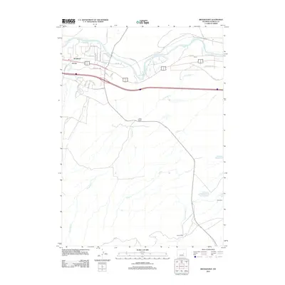
2012 Map of Brookhurst
USGS Topo · Published 2012About this map
The N Platte River shapes the northern corridor of this Wyoming landscape, where early 21st-century residential developments and ranching history meet. The settlements of Brookhurst and Strouds occupy the northwest corner, characterized by an emerging network of named streets such as Mystery Bridge Rd and Black Gold Cir. South of the river, the terrain transitions into a more open, drainage-defined expanse, where significant landholdings like Milne Ranch and Hat Six Ranch represent the region's enduring agricultural character. Intersected by the Old Glenrock Hwy, the map reveals a complex system of seasonal waterways including Dry Muddy Cr, Goose Cr, and Clear Fork Muddy Cr. Notable landforms like Jones Draw break the high plains, providing a detailed look at the drainage patterns that have historically dictated travel and settlement in the area east of Casper.
Find a feature on this map
44 named features on this map. Tap any name to fly to it.
Don’t see what you’re looking for? This feature index may not catch every label — zoom into the map to look around manually.
Map Details
Editions of this 2012 Brookhurst Map
This is the sole edition of this map. No revisions or reprints were ever made.
Other maps of this area

1949 · Brookhurst
USGS Topo · 1:24,000

1949 · Campbell Hill
USGS Topo · 1:24,000

1949 · Pratts Soda Lakes
USGS Topo · 1:24,000

1950 · Campbell Hill
USGS Topo · 1:24,000

1950 · Lockett
USGS Topo · 1:24,000

1950 · Brookhurst
USGS Topo · 1:24,000

1950 · Pratts Soda Lakes
USGS Topo · 1:24,000

1951 · The Reefs
USGS Topo · 1:24,000

1951 · Casper
USGS Topo · 1:24,000

1955 · Casper
USGS Topo · 1:250,000