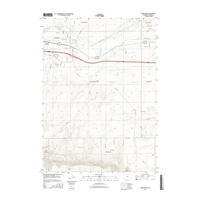
2015 Map of Brookhurst
USGS Topo · Published 2015About this map
The North Platte River winds through this high plains landscape just east of Casper, shaping the geography of early 21st-century Wyoming. This survey captures the transition from the river valley to the prominent rise of Casper Mtn, showcasing a sophisticated network of water management including the Mary Steed Reservoir, Nicholaysen Reservoir, and Bentley Reservoir. The settlements of Brookhurst and Strouds appear along the major transportation corridors of E Yellowstone Hwy and the interstate, reflecting the region's modern infrastructure.
Find a feature on this map
72 named features on this map. Tap any name to fly to it.
Don’t see what you’re looking for? This feature index may not catch every label — zoom into the map to look around manually.
Map Details
Editions of this 2015 Brookhurst Map
This is the sole edition of this map. No revisions or reprints were ever made.
Other maps of this area

1949 · Brookhurst
USGS Topo · 1:24,000

1949 · Campbell Hill
USGS Topo · 1:24,000

1949 · Pratts Soda Lakes
USGS Topo · 1:24,000

1950 · Campbell Hill
USGS Topo · 1:24,000

1950 · Lockett
USGS Topo · 1:24,000

1950 · Brookhurst
USGS Topo · 1:24,000

1950 · Pratts Soda Lakes
USGS Topo · 1:24,000

1951 · The Reefs
USGS Topo · 1:24,000

1951 · Casper
USGS Topo · 1:24,000

1955 · Casper
USGS Topo · 1:250,000