2024 Map of Brookings
USGS Topo · Published 2024About this map
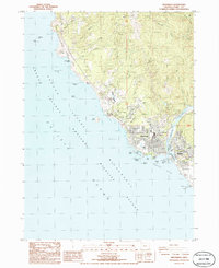
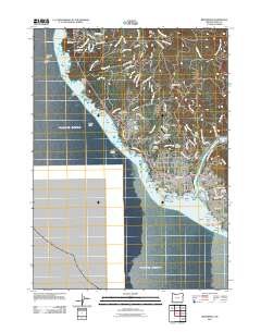
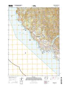
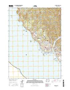
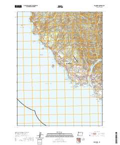
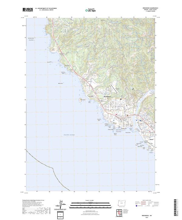
The coastal town of Brookings and the neighboring community of Harbor define this maritime landscape where the Chetco River meets the Pacific Ocean. This modern survey details the complex shoreline of the Oregon Islands National Wildlife Refuge, which includes numerous offshore monoliths such as Goat Island, Rainbow Island, and the clustered Gull Rocks. The topography is dominated by dramatic coastal features like Cape Ferrelo and Chetco Point, while the interior rises toward Black Mound and Red Mound. Settlement patterns are concentrated around the mouth of the river and along major routes like Carpenterville Rd and N Bank Chetco River Rd. Significant infrastructure including the Brookings Airport and Ward Memorial Cem are clearly mapped, alongside recreational areas like Harris Beach and protected zones within the Oregon Islands Wilderness.
Find a feature on this map
158 named features on this map. Tap any name to fly to it.
Don’t see what you’re looking for? This feature index may not catch every label — zoom into the map to look around manually.
Map Details
Editions of this 2024 Brookings Map
This is the sole edition of this map. No revisions or reprints were ever made.
Historical Maps of Harbor Through Time
6 maps found