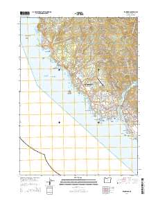
2014 Map of Brookings
USGS Topo · Published 2014About this map
Brookings and Harbor sit at the mouth of the Chetco River on this 2014 survey, highlighting a coastal landscape defined by timber heritage and maritime geology. The industrial history of the region is visible in the Oregon Coast Log Pond and South Coast Log Pond, while the rugged shoreline is dotted with named offshore features like Goat Island, Rainbow Island, and the Walrus Rocks. Local infrastructure, including the Brookings Airport, supports this Curry County hub.
Find a feature on this map
132 named features on this map. Tap any name to fly to it.
Don’t see what you’re looking for? This feature index may not catch every label — zoom into the map to look around manually.
Map Details
Editions of this 2014 Brookings Map
This is the sole edition of this map. No revisions or reprints were ever made.
Other maps of this area

1929 · Crescent City
USGS Topo · 1:125,000

1945 · Point St. George
USGS Topo · 1:62,500

1949 · Eureka
USGS Topo · 1:250,000

1952 · Crescent City
USGS Topo · 1:62,500

1954 · Coos Bay
USGS Topo · 1:250,000

1954 · Cape Ferrelo
USGS Topo · 1:62,500

1954 · Mt. Emily
USGS Topo · 1:62,500

1956 · Smith River
USGS Topo · 1:24,000

1958 · Eureka
USGS Topo · 1:250,000

1958 · Coos Bay
USGS Topo · 1:250,000