
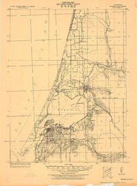
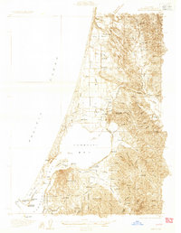
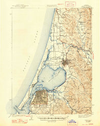
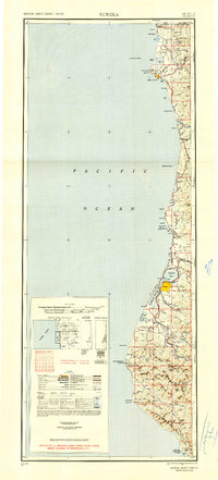
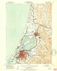
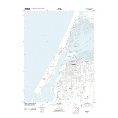
1958 Map of Eureka
USGS Topo · Published 1967About this map
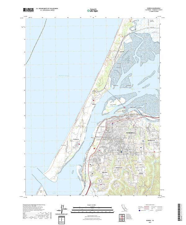
Humboldt Bay and the redwood-rich coast of Northern California are meticulously documented in this late-1950s survey. The landscape is defined by the heavy timber and coastal shipping economy, anchored by the regional hub of Eureka and the industrial activity around Arcata Bay. The Northwestern Pacific railroad follows the winding path of the Eel River through the mountains, connecting settlements like Rio Dell, Scotia, and Fortuna. To the north, the preservation of the landscape is evident through Jedediah Smith Redwoods State Park and Prairie Creek Redwoods State Park, while the coastal road network, including Route 101, links remote outposts like Trinidad and Crescent City. Local institutions, including the St Josephs Sch and several country schools like Grizzly Bluff School, provide critical anchor points for genealogists researching family history in these rural logging and fishing communities.
Find a feature on this map
74 named features on this map. Tap any name to fly to it.
Don’t see what you’re looking for? This feature index may not catch every label — zoom into the map to look around manually.
Map Details
Editions of this 1958 Eureka Map
This is the sole edition of this map. No revisions or reprints were ever made.
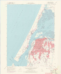
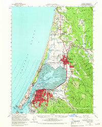
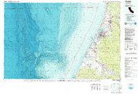
Historical Maps of Eureka Through Time
15 maps found
1922 Eureka
Humboldt County, CA
1933 Eureka
Humboldt County, CA
1942 Eureka
Humboldt County, CA
1949 Eureka
Humboldt County, CA
1951 Eureka
Humboldt County, CA
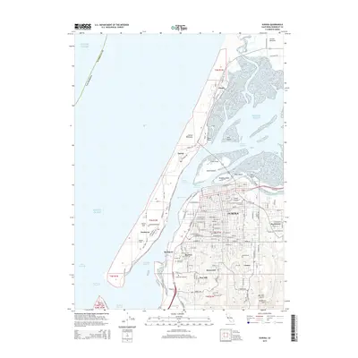
1958 Eureka
Humboldt County, CA
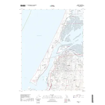
1958 Eureka
Humboldt County, CA

1958 Eureka
Humboldt County, CA
1959 Eureka
Humboldt County, CA

1961 Eureka
Humboldt County, CA
1987 Eureka
Humboldt County, CA
2012 Eureka
Humboldt County, CA
2015 Eureka
Humboldt County, CA
2018 Eureka
Humboldt County, CA
2021 Eureka
Humboldt County, CA