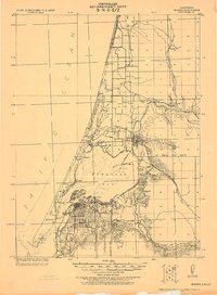
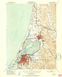
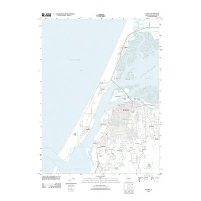
1922 Map of Eureka
USGS Topo · Published 1922About this map
Humboldt Bay and its complex network of sloughs and timber-driven settlements anchor this coastal reconnaissance produced under the direction of A.R. Ehrnbeck. The industrial footprint of the early 1920s is evident in the dense street grid of Eureka and the sprawling rail connections of the N. W. P. R. R. feeding into Arcata. Along the narrow Peninsula, the company town of Samoa and nearby Fairhaven overlook the shipping lanes, while the Humboldt L.H. and the U.S. Engr. Dock at the harbor entrance mark the critical maritime infrastructure of the era.
Find a feature on this map
46 named features on this map. Tap any name to fly to it.
Don’t see what you’re looking for? This feature index may not catch every label — zoom into the map to look around manually.
Map Details
Editions of this 1922 Eureka Map
This is the sole edition of this map. No revisions or reprints were ever made.
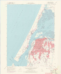
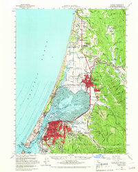
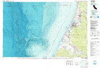
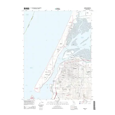
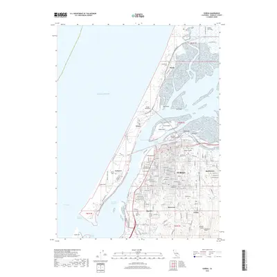
Historical Maps of Eureka Through Time
15 maps found
1922 Eureka
Humboldt County, CA
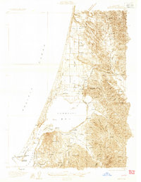
1933 Eureka
Humboldt County, CA
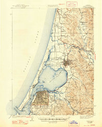
1942 Eureka
Humboldt County, CA
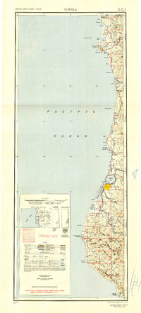
1949 Eureka
Humboldt County, CA
1951 Eureka
Humboldt County, CA

1958 Eureka
Humboldt County, CA
1958 Eureka
Humboldt County, CA

1958 Eureka
Humboldt County, CA
1959 Eureka
Humboldt County, CA

1961 Eureka
Humboldt County, CA
1987 Eureka
Humboldt County, CA
2012 Eureka
Humboldt County, CA
2015 Eureka
Humboldt County, CA
2018 Eureka
Humboldt County, CA
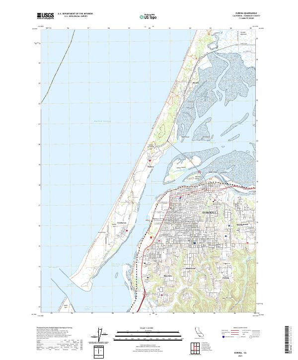
2021 Eureka
Humboldt County, CA