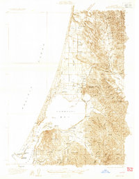
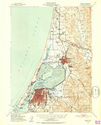
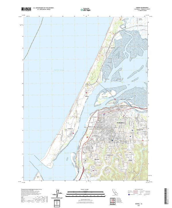
1933 Map of Eureka
USGS Topo · Published 1933About this map
Eureka and Arcata anchor this coastal landscape during the early 1930s, showing a region defined by its timber industry and maritime infrastructure. The dense grid of Eureka sits south of Humboldt Bay, while the Northwestern Pacific Railroad and the Dolbeer & Carson R. R. weave through the lowlands, connecting mills and docks. The map reveals a high concentration of educational institutions, from the Humboldt State Normal School in Arcata to rural sites like Washington Sch and Canal Sch.
Find a feature on this map
88 named features on this map. Tap any name to fly to it.
Don’t see what you’re looking for? This feature index may not catch every label — zoom into the map to look around manually.
Map Details
Editions of this 1933 Eureka Map
This is the sole edition of this map. No revisions or reprints were ever made.
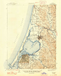
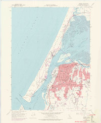
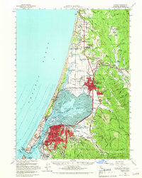
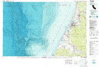
Historical Maps of Eureka Through Time
15 maps found
1922 Eureka
Humboldt County, CA
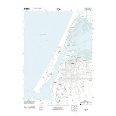
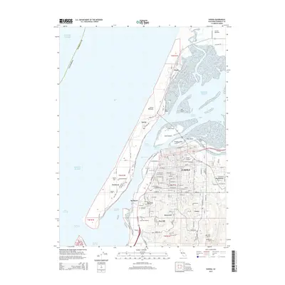
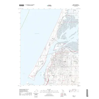
1933 Eureka
Humboldt County, CA
1942 Eureka
Humboldt County, CA
1949 Eureka
Humboldt County, CA
1951 Eureka
Humboldt County, CA

1958 Eureka
Humboldt County, CA
1958 Eureka
Humboldt County, CA

1958 Eureka
Humboldt County, CA
1959 Eureka
Humboldt County, CA

1961 Eureka
Humboldt County, CA
1987 Eureka
Humboldt County, CA
2012 Eureka
Humboldt County, CA
2015 Eureka
Humboldt County, CA
2018 Eureka
Humboldt County, CA
2021 Eureka
Humboldt County, CA