
1922 Map of Preston Peak
USGS Topo · Published 1922About this map
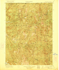
Siskiyou National Forest and Klamath National Forest dominate this 1915 survey of the borderlands between California and Oregon. The landscape is defined by the complex drainage of the North Fork Smith River and its various tributaries, including Monkey Creek and Shelley Creek. This era of the Klamath Mountains was characterized by isolated mountain ranches and gold mining operations along the river bars. Researchers can identify early commercial and transit points such as Gasquet Adams Sta, Patrick Creek Station, and Washington Ranch. The map also captures the Cleopatra Mine near the northern boundary and the Terwer School in the south, illustrating the sparse but established community infrastructure that served miners and homesteaders before the modernization of the Pacific Highway system. High peaks such as Preston Pk and Sanger Pk provide a framework for the rugged topography of the region during the early twentieth century.
Find a feature on this map
130 named features on this map. Tap any name to fly to it.
Don’t see what you’re looking for? This feature index may not catch every label — zoom into the map to look around manually.
Map Details
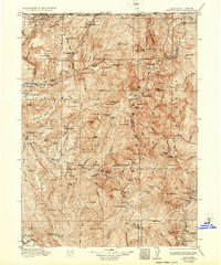
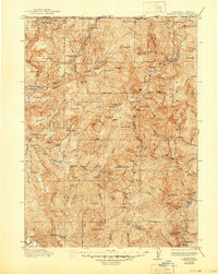
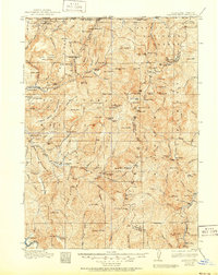
Editions of this 1922 Preston Peak Map
5 editions found
Other maps of this area

1908 · Grants Pass
USGS Topo · 1:125,000

1914 · Seiad
USGS Topo · 1:125,000

1917 · Kerby
USGS Topo · 1:125,000

1918 · Kerby
USGS Topo · 1:125,000

1922 · Seiad
USGS Topo · 1:125,000

1925 · Hoopa
USGS Topo · 1:125,000

1929 · Crescent City
USGS Topo · 1:125,000

1945 · Ship Mountain
USGS Topo · 1:62,500

1945 · Orick
USGS Topo · 1:62,500

1945 · Kerby
USGS Topo · 1:125,000