
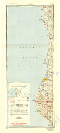
1949 Map of Eureka
USGS Topo · Published 1949About this map
Humboldt Bay and Arcata Bay anchor this 1940s coastal survey, illustrating the maritime and timber-driven economy of Northern California. The Northwestern Pacific railroad corridor serves as the primary artery for coastal settlements from Eureka and Arcata south through Fortuna and Scotia, where the Eel River and Van Duzen River define the inland topography. The presence of the Tyson Chrome Mine and various coastal identifiers like the Crescent City Lighthouse reflect the region's industrial and navigational importance.
Find a feature on this map
112 named features on this map. Tap any name to fly to it.
Don’t see what you’re looking for? This feature index may not catch every label — zoom into the map to look around manually.
Map Details
Editions of this 1949 Eureka Map
2 editions found
Other maps of this area

1916 · Cape Fortunas
USGS Topo · 1:62,500

1917 · Kerby
USGS Topo · 1:125,000

1918 · Kerby
USGS Topo · 1:125,000

1919 · Glynn
USGS Topo · 1:62,500

1920 · Pt. Delagda
USGS Topo · 1:62,500

1921 · Dyerville
USGS Topo · 1:62,500

1921 · Briceland
USGS Topo · 1:62,500

1921 · Cape Mendocino
USGS Topo · 1:62,500

1922 · Preston Peak
USGS Topo · 1:125,000

1922 · Eureka
USGS Topo · 1:62,500