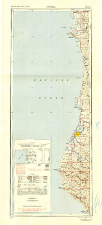
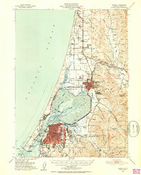
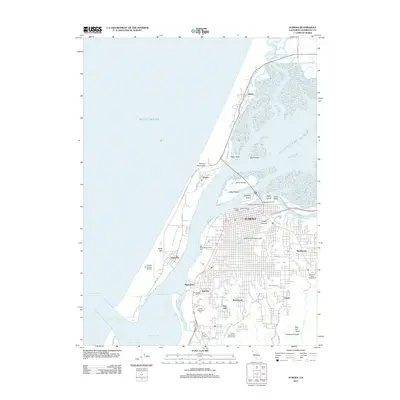
1949 Map of Eureka
USGS Topo · Published 1951About this map
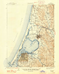
The Northwestern Pacific railroad corridor anchors this mid-century survey of the California redwood coast, winding through timber and ranching country between Eureka and Scotia. The map captures the region's industrial and maritime infrastructure, from the Tyson Chrome Mine in the north near the Oregon border to the Shelter Cove Coast Guard Station at the southern edge. The rugged shoreline is punctuated by critical navigation markers including the St George Reef Lighthouse and Redding Rock Lighthouse, while the interior shows a landscape defined by its river systems, specifically the Klamath River, Mad River, and the wide drainage of the Eel River. Local ranching history is evidenced by family names on the land, such as Hufford Ranch and Patersons Ranch, and the presence of small logging and mill settlements like Falk and Crannell. This document reflects the post-war state of the Redwood Empire before modern highway expansions bypassed many of these smaller riverside communities.
Find a feature on this map
109 named features on this map. Tap any name to fly to it.
Don’t see what you’re looking for? This feature index may not catch every label — zoom into the map to look around manually.
Map Details
Editions of this 1949 Eureka Map
2 editions found

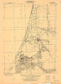
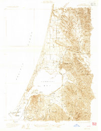
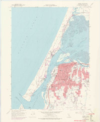
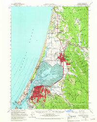
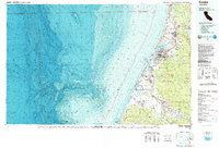
Historical Maps of Eureka Through Time
15 maps found
1922 Eureka
Humboldt County, CA
1933 Eureka
Humboldt County, CA
1942 Eureka
Humboldt County, CA
1949 Eureka
Humboldt County, CA
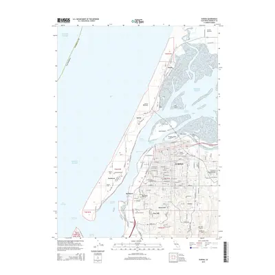
1951 Eureka
Humboldt County, CA

1958 Eureka
Humboldt County, CA
1958 Eureka
Humboldt County, CA

1958 Eureka
Humboldt County, CA
1959 Eureka
Humboldt County, CA

1961 Eureka
Humboldt County, CA
1987 Eureka
Humboldt County, CA
2012 Eureka
Humboldt County, CA
2015 Eureka
Humboldt County, CA
2018 Eureka
Humboldt County, CA
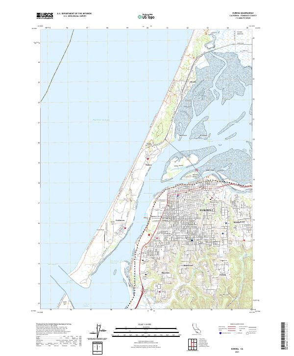
2021 Eureka
Humboldt County, CA