
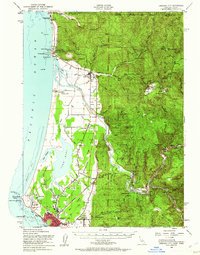
1952 Map of Crescent City
USGS Topo · Published 1954About this map
The Smith River Indian Reservation and the significant Yontocket (Indian Village) Site anchor the northern coastline of this 1952 Del Norte County survey. This landscape reflects a convergence of tribal heritage and early resource extraction, where the Smith River meets the Pacific near Pyramid Point. To the east, the terrain rises into the Siskiyou National Forest, revealing the industrial footprint of the era through the Copper Creek Chrome Mine and Alta Copper Mine.
Find a feature on this map
81 named features on this map. Tap any name to fly to it.
Don’t see what you’re looking for? This feature index may not catch every label — zoom into the map to look around manually.
Map Details
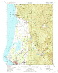
Editions of this 1952 Crescent City Map
4 editions found

Other maps of this area

1917 · Kerby
USGS Topo · 1:125,000

1918 · Kerby
USGS Topo · 1:125,000

1922 · Preston Peak
USGS Topo · 1:125,000

1929 · Crescent City
USGS Topo · 1:125,000

1945 · Ship Mountain
USGS Topo · 1:62,500

1945 · Kerby
USGS Topo · 1:125,000

1945 · Gasquet
USGS Topo · 1:62,500

1945 · Point St. George
USGS Topo · 1:62,500

1945 · Requa
USGS Topo · 1:62,500

1948 · Weed
USGS Topo · 1:250,000