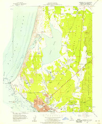
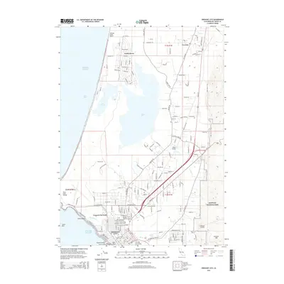
1952 Map of Crescent City
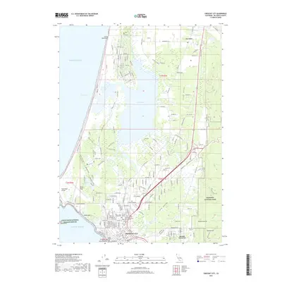
USGS Topo · Published 1962About this map
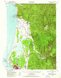
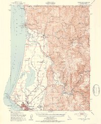
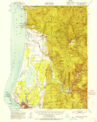
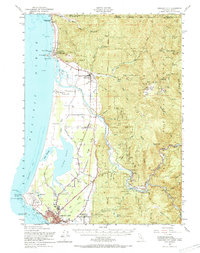
Crescent City anchors the rugged coast of Del Norte County, shown here in the early 1950s as a vital hub for the regional timber and maritime industries. The coastal plain is dominated by the sprawling waters of Lake Earl and Lake Talawa, while the interior rises sharply into the heavily forested ridges of the Siskiyou National Forest. Cultural history is deeply etched into the landscape, from the Smith River Indian Reservation and the Yontocket Indian Village Site to the historic Nickerson Ranch.
Find a feature on this map
80 named features on this map. Tap any name to fly to it.
Don’t see what you’re looking for? This feature index may not catch every label — zoom into the map to look around manually.
Map Details
Editions of this 1952 Crescent City Map
4 editions found
Historical Maps of Crescent City Through Time
9 maps found
1952 Crescent City
Del Norte County, CA
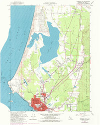
1956 Crescent City
Del Norte County, CA

1958 Crescent City
Del Norte County, CA
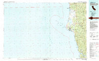
1966 Crescent City
Del Norte County, CA
1983 Crescent City
Del Norte County, CA
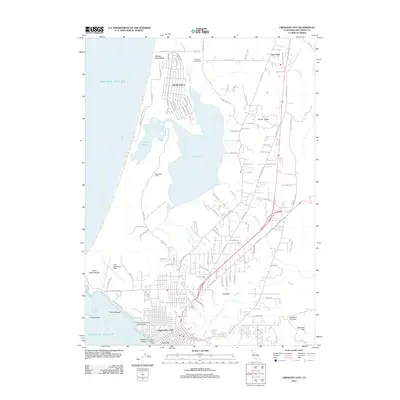
2012 Crescent City
Del Norte County, CA
2015 Crescent City
Del Norte County, CA
2018 Crescent City
Del Norte County, CA
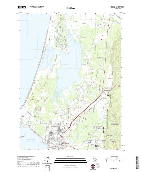
2021 Crescent City
Del Norte County, CA