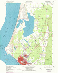
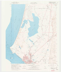
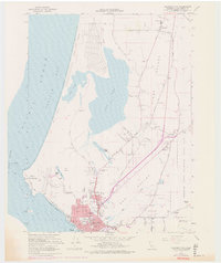
1966 Map of Crescent City
USGS Topo · Published 1978About this map
Crescent City anchors this coastal survey, showing a landscape defined by the shifting interface of water and land. From the developed grid of the city, the map tracks northward past the County Hospital and Del Norte High Sch toward the expansive waters of Lake Earl and Lake Talawa. To the west, the rugged Pacific shoreline features Point St George and McNamara Field, while the eastern edge is dominated by the dense timber of Jedediah Smith Redwoods State Park. A notable insight of this 1970s-revised edition is the preservation of rural markers like McLaughlin Ranch and Fort Dick alongside growing urban residential infill. The presence of the SS Emidio Memorial near the waterfront serves as a reminder of the region's maritime history and the hazards of the St George Channel.
Find a feature on this map
57 named features on this map. Tap any name to fly to it.
Don’t see what you’re looking for? This feature index may not catch every label — zoom into the map to look around manually.
Map Details
Editions of this 1966 Crescent City Map
6 editions found
Other maps of this area

1929 · Crescent City
USGS Topo · 1:125,000

1945 · Point St. George
USGS Topo · 1:62,500

1945 · Requa
USGS Topo · 1:62,500

1949 · Eureka
USGS Topo · 1:250,000
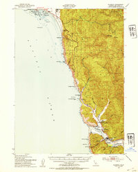
1952 · Klamath
USGS Topo · 1:62,500

1952 · Crescent City
USGS Topo · 1:62,500
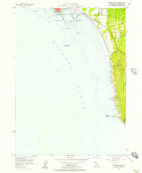
1956 · Sister Rocks
USGS Topo · 1:24,000

1956 · Crescent City
USGS Topo · 1:24,000

1956 · Smith River
USGS Topo · 1:24,000

1958 · Eureka
USGS Topo · 1:250,000