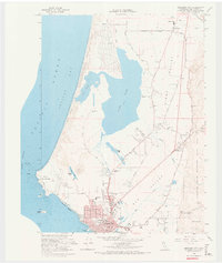
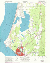
1966 Map of Crescent City
USGS Topo · Published 1974About this map
Crescent City anchors this coastal survey, reflecting a period of mid-century growth along the rugged Pacific shoreline. The city's grid is well-defined, reaching toward the County Hospital and Del Norte High Sch, while the SS Emidio Memorial stands as a somber landmark on the coast. Northward, the landscape shifts into the unique hydrology of Lake Earl and Lake Talawa, separated from the Pacific Ocean by a narrow corridor of Sand Dunes.
Find a feature on this map
62 named features on this map. Tap any name to fly to it.
Don’t see what you’re looking for? This feature index may not catch every label — zoom into the map to look around manually.
Map Details
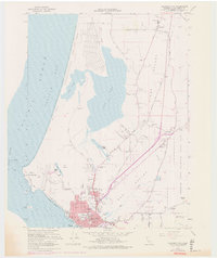
Editions of this 1966 Crescent City Map
6 editions found
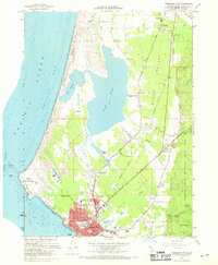
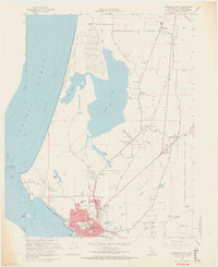
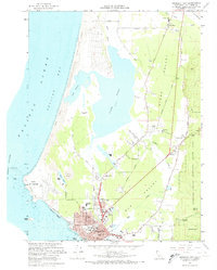
Other maps of this area

1929 · Crescent City
USGS Topo · 1:125,000

1945 · Point St. George
USGS Topo · 1:62,500

1945 · Requa
USGS Topo · 1:62,500

1949 · Eureka
USGS Topo · 1:250,000
1952 · Klamath
USGS Topo · 1:62,500

1952 · Crescent City
USGS Topo · 1:62,500
1956 · Sister Rocks
USGS Topo · 1:24,000

1956 · Crescent City
USGS Topo · 1:24,000

1956 · Smith River
USGS Topo · 1:24,000

1958 · Eureka
USGS Topo · 1:250,000