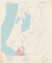
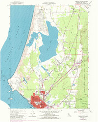
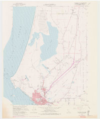
1966 Map of Crescent City
USGS Topo · Published 1968About this map
Crescent City serves as the focal point of this Del Norte coastal survey, revealing the urban grid and industrial features of the mid-1960s. The map captures a transitional landscape where the Pacific coastline meets the dense groves of Jedediah Smith Redwoods State Park. Along the shore, Point St George and Castle Rock stand out against the expanse of Pelican Bay, while inland, the dual lagoons of Lake Earl and Lake Talawa dominate the northern terrain.
Find a feature on this map
50 named features on this map. Tap any name to fly to it.
Don’t see what you’re looking for? This feature index may not catch every label — zoom into the map to look around manually.
Map Details
Editions of this 1966 Crescent City Map
6 editions found
Other maps of this area

1929 · Crescent City
USGS Topo · 1:125,000

1945 · Point St. George
USGS Topo · 1:62,500

1945 · Requa
USGS Topo · 1:62,500

1949 · Eureka
USGS Topo · 1:250,000
1952 · Klamath
USGS Topo · 1:62,500

1952 · Crescent City
USGS Topo · 1:62,500
1956 · Sister Rocks
USGS Topo · 1:24,000

1956 · Crescent City
USGS Topo · 1:24,000

1956 · Smith River
USGS Topo · 1:24,000

1958 · Eureka
USGS Topo · 1:250,000