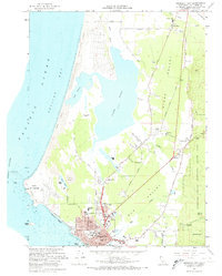
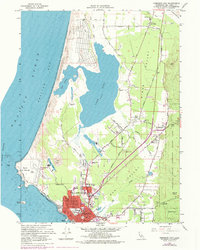
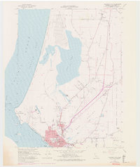
1966 Map of Crescent City
USGS Topo · Published 1974About this map
Crescent City serves as the focal point of this coastal survey, showing the community just as it appeared in the mid-1960s before modern expansion. The town grid is meticulously detailed, extending from Front St past the Fairgrounds to the County Hospital. Along the rugged Pacific coastline, the map documents significant landmarks such as Point St George and Castle Rock, as well as the unique hydrological system of Lake Earl and Lake Talawa separated from Pelican Bay by a stretch of Sand Dunes.
Find a feature on this map
57 named features on this map. Tap any name to fly to it.
Don’t see what you’re looking for? This feature index may not catch every label — zoom into the map to look around manually.
Map Details
Editions of this 1966 Crescent City Map
6 editions found
Other maps of this area

1929 · Crescent City
USGS Topo · 1:125,000

1945 · Point St. George
USGS Topo · 1:62,500

1945 · Requa
USGS Topo · 1:62,500

1949 · Eureka
USGS Topo · 1:250,000
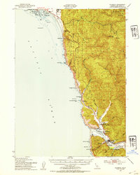
1952 · Klamath
USGS Topo · 1:62,500

1952 · Crescent City
USGS Topo · 1:62,500
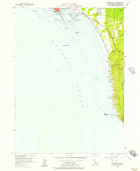
1956 · Sister Rocks
USGS Topo · 1:24,000

1956 · Crescent City
USGS Topo · 1:24,000

1956 · Smith River
USGS Topo · 1:24,000

1958 · Eureka
USGS Topo · 1:250,000