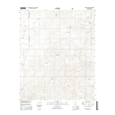
2014 Map of Brooklyn Peak
USGS Topo · Published 2014About this map
Brooklyn Peak dominates the southern high ground of this Arizona landscape, situated within the vast expanse of the Tonto National Forest. The region is defined by a series of prominent landforms including Perry Mesa, Hutch Mesa, and Mesa Butte, which are carved by a complex network of seasonal drainages such as Bishop Creek and Copper Creek. Access is provided by the historic route of Bloody Basin Rd and FR 269, weaving through a terrain marked by numerous livestock tanks and natural seeps.
Find a feature on this map
66 named features on this map. Tap any name to fly to it.
Don’t see what you’re looking for? This feature index may not catch every label — zoom into the map to look around manually.
Map Details
Editions of this 2014 Brooklyn Peak Map
This is the sole edition of this map. No revisions or reprints were ever made.
Other maps of this area

1887 · Verde
USGS Topo · 1:250,000

1887 · Prescott
USGS Topo · 1:250,000

1892 · Verde
USGS Topo · 1:250,000

1892 · Prescott
USGS Topo · 1:250,000

1903 · Bradshaw Mountains
USGS Topo · 1:125,000

1929 · Turret Peak
USGS Topo · 1:125,000

1933 · Turret Peak
USGS Topo · 1:125,000

1947 · Bumblebee
USGS Topo · 1:62,500

1947 · Mayer
USGS Topo · 1:62,500

1948 · Bumblebee
USGS Topo · 1:63,360