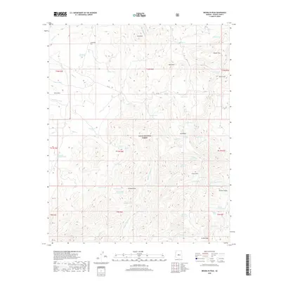
2018 Map of Brooklyn Peak
USGS Topo · Published 2018About this map
Tonto National Forest lands dominate this high-desert landscape, defined by a complex network of canyons and high mesas. The terrain rises sharply toward Brooklyn Peak and the prominent Six Bar Ridge in the south, while the northern reaches are marked by the broad expanse of Perry Mesa and Cornstalk Flat. This 2018 survey reveals a landscape where water is the primary organizing force, evidenced by the numerous named tanks and springs used for livestock and wildlife management. Features such as Rosalie Spring, Sycamore Spring, and Hutch Tank dot the drainage basins of Copper Cr and the Middle Fork Squaw Cr. The presence of FR 269 indicates the limited vehicular access through this rugged interior of Yavapai County, where topographic landmarks like Goat Peak and Mesa Butte served as essential navigational points for generations of ranchers and travelers.
Find a feature on this map
65 named features on this map. Tap any name to fly to it.
Don’t see what you’re looking for? This feature index may not catch every label — zoom into the map to look around manually.
Map Details
Editions of this 2018 Brooklyn Peak Map
This is the sole edition of this map. No revisions or reprints were ever made.
Other maps of this area

1887 · Verde
USGS Topo · 1:250,000

1887 · Prescott
USGS Topo · 1:250,000

1892 · Verde
USGS Topo · 1:250,000

1892 · Prescott
USGS Topo · 1:250,000

1903 · Bradshaw Mountains
USGS Topo · 1:125,000

1929 · Turret Peak
USGS Topo · 1:125,000

1933 · Turret Peak
USGS Topo · 1:125,000

1947 · Bumblebee
USGS Topo · 1:62,500

1947 · Mayer
USGS Topo · 1:62,500

1948 · Bumblebee
USGS Topo · 1:63,360