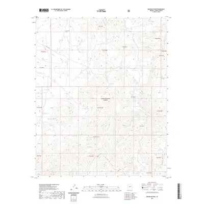
2021 Map of Brooklyn Peak
USGS Topo · Published 2021About this map
Brooklyn Peak dominates this high-altitude landscape within the Tonto National Forest, where the topography is defined by a series of prominent mesas and deep desert washes. The vast Perry Mesa extends across the western portion of the sheet, providing a stark contrast to the drainage networks of Copper Cr and Hackberry Wash. These seasonal water sources were vital for early cattle ranching and land management, evidenced by the numerous water catchments like Cornstalk Flat Tank and Rockhouse Tank scattered throughout the territory.
Find a feature on this map
66 named features on this map. Tap any name to fly to it.
Don’t see what you’re looking for? This feature index may not catch every label — zoom into the map to look around manually.
Map Details
Editions of this 2021 Brooklyn Peak Map
This is the sole edition of this map. No revisions or reprints were ever made.
Other maps of this area

1887 · Verde
USGS Topo · 1:250,000

1887 · Prescott
USGS Topo · 1:250,000

1892 · Verde
USGS Topo · 1:250,000

1892 · Prescott
USGS Topo · 1:250,000

1903 · Bradshaw Mountains
USGS Topo · 1:125,000

1929 · Turret Peak
USGS Topo · 1:125,000

1933 · Turret Peak
USGS Topo · 1:125,000

1947 · Bumblebee
USGS Topo · 1:62,500

1947 · Mayer
USGS Topo · 1:62,500

1948 · Bumblebee
USGS Topo · 1:63,360