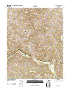
2013 Map of Brookneal
USGS Topo · Published 2013About this map
The Roanoke River carves a sweeping path along the southern edge of this Campbell County landscape, defining the geographic orientation of Brookneal. This river crossing serves as the anchor for a network of rural roads and watercourses, including the Falling River and Little Falling River, which drain the northern hills. The map illustrates a community shaped by its waterways and rail-adjacent crossroads, where small nodes of settlement like Holts Crossing and North Halifax provide historical context to the local geography.
Find a feature on this map
116 named features on this map. Tap any name to fly to it.
Don’t see what you’re looking for? This feature index may not catch every label — zoom into the map to look around manually.
Map Details
Editions of this 2013 Brookneal Map
This is the sole edition of this map. No revisions or reprints were ever made.
Other maps of this area

1892 · Lynchburg
USGS Topo · 1:125,000

1892 · Appomattox
USGS Topo · 1:125,000

1947 · Roanoke
USGS Topo · 1:250,000

1953 · Greensboro
USGS Topo · 1:250,000

1954 · Greensboro
USGS Topo · 1:250,000

1954 · Halifax
USGS Topo · 1:62,500

1954 · Riceville
USGS Topo · 1:62,500

1956 · Brookneal
USGS Topo · 1:62,500

1956 · Gladys
USGS Topo · 1:62,500

1959 · Roanoke
USGS Topo · 1:250,000