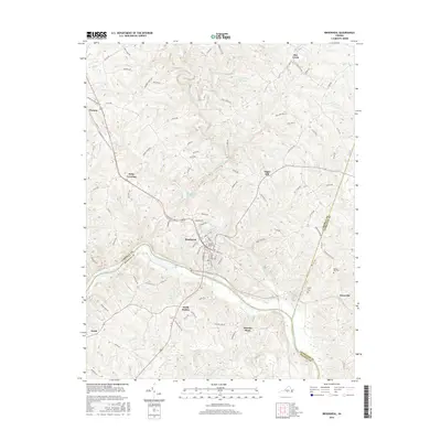
2016 Map of Brookneal
USGS Topo · Published 2016About this map
The Roanoke River serves as a natural boundary dividing Campbell, Halifax, and Charlotte counties, with the town of Brookneal established on its northern banks. This 2016 survey shows the town as a central hub, where residential streets give way to the Wickliffe Rush Cem and the nearby Brookneal Reservoir. The landscape is defined by the convergence of numerous watercourses, including the Little Falling River and Falling River, which drain the northern hills before meeting the Roanoke. Small rural crossroads such as Naruna, Sugar Hill, and Martins Store anchor the surrounding countryside, connected by a network of state and county roads. Genealogists will find several family-named landmarks and burial sites, such as Henry Cem and Spring Hill Cem, which offer physical links to the area's agricultural history and long-standing community settlements like Terryville and North Halifax.
Find a feature on this map
102 named features on this map. Tap any name to fly to it.
Don’t see what you’re looking for? This feature index may not catch every label — zoom into the map to look around manually.
Map Details
Editions of this 2016 Brookneal Map
This is the sole edition of this map. No revisions or reprints were ever made.
Other maps of this area

1892 · Lynchburg
USGS Topo · 1:125,000

1892 · Appomattox
USGS Topo · 1:125,000

1947 · Roanoke
USGS Topo · 1:250,000

1953 · Greensboro
USGS Topo · 1:250,000

1954 · Greensboro
USGS Topo · 1:250,000

1954 · Halifax
USGS Topo · 1:62,500

1954 · Riceville
USGS Topo · 1:62,500

1956 · Brookneal
USGS Topo · 1:62,500

1956 · Gladys
USGS Topo · 1:62,500

1959 · Roanoke
USGS Topo · 1:250,000