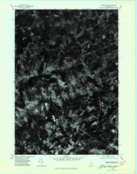
1975 Map of Brooks NE
USGS Topo · Published 1980About this map
Dixmont Center and East Dixmont anchor this orthophotoquad in Penobscot County, reflecting a landscape defined by small rural crossroads and woodlots in the mid-1970s. The aerial imagery captures the distinct spatial organization of central Maine, where clusters like Simpson Corners and Arnold Corner mark historical intersections that have long served as local community hubs. To the east, Newburg appears as a key settlement in this quiet upland region.
Find a feature on this map
6 named features on this map. Tap any name to fly to it.
Don’t see what you’re looking for? This feature index may not catch every label — zoom into the map to look around manually.
Map Details
Editions of this 1975 Brooks NE Map
This is the sole edition of this map. No revisions or reprints were ever made.
Other maps of this area

1900 · Bucksport
USGS Topo · 1:62,500

1902 · Bucksport
USGS Topo · 1:62,500

1902 · Bangor
USGS Topo · 1:62,500

1931 · Stetson
USGS Topo · 1:48,000

1932 · Brooks
USGS Topo · 1:62,500

1935 · Stetson
USGS Topo · 1:62,500

1942 · Bangor
USGS Topo · 1:62,500

1942 · Bucksport
USGS Topo · 1:62,500

1946 · Bangor
USGS Topo · 1:62,500

1948 · Bangor
USGS Topo · 1:250,000