
1932 Map of Brooks
USGS Topo · Published 1932About this map
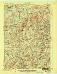
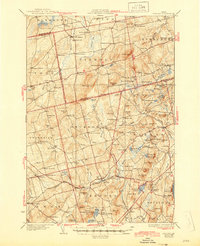
Mount Harris rises as a prominent landmark in the center of this 1929 survey, overlooking a landscape defined by small Maine villages and the valley of Marsh Stream. The area is characterized by high hills like Pickard Mtn and Croxford Mtn, which separate the agricultural valley floors. The Belfast and Moosehead Lake RR cuts through the southern reaches of the quadrangle, serving the towns of Brooks and Knox Sta.
Find a feature on this map
136 named features on this map. Tap any name to fly to it.
Don’t see what you’re looking for? This feature index may not catch every label — zoom into the map to look around manually.
Map Details
Editions of this 1932 Brooks Map
3 editions found
Other maps of this area

1900 · Bucksport
USGS Topo · 1:62,500

1902 · Bucksport
USGS Topo · 1:62,500

1902 · Bangor
USGS Topo · 1:62,500

1902 · Castine
USGS Topo · 1:62,500

1904 · Castine
USGS Topo · 1:62,500

1905 · Penobscot Bay
USGS Topo · 1:125,000

1915 · Belfast
USGS Topo · 1:62,500

1916 · Liberty
USGS Topo · 1:62,500

1917 · Belfast
USGS Topo · 1:62,500

1926 · Burnham
USGS Topo · 1:62,500