
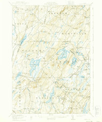
1916 Map of Liberty
USGS Topo · Published 1916About this map
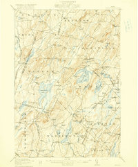
St George Lake and the village of Liberty serve as the central hub of this mid-1910s landscape where Waldo, Lincoln, Kennebec, and Knox counties converge. The terrain is defined by a dense network of small rural schoolhouses like Barlow School, Halldale School, and McDowell School, which supported the dispersed farming families of the era. The narrow-gauge Wiscasset Waterville and Farmington RR cuts through the western edge of the sheet, providing a vital connection for the residents of Branch Mills Palermo PO and Coles.
Find a feature on this map
128 named features on this map. Tap any name to fly to it.
Don’t see what you’re looking for? This feature index may not catch every label — zoom into the map to look around manually.
Map Details
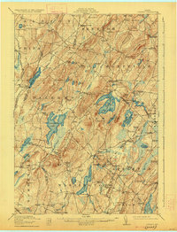
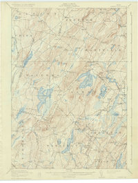
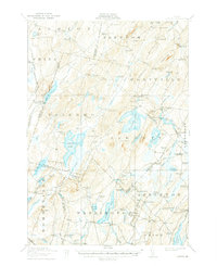
Editions of this 1916 Liberty Map
6 editions found
Other maps of this area

1892 · Waterville
USGS Topo · 1:62,500

1893 · Vassalboro
USGS Topo · 1:62,500

1893 · Wiscasset
USGS Topo · 1:62,500

1898 · Vassalboro
USGS Topo · 1:62,500

1904 · Rockland
USGS Topo · 1:62,500

1906 · Rockland
USGS Topo · 1:62,500

1913 · Waldoboro
USGS Topo · 1:48,000

1915 · Waldoboro
USGS Topo · 1:62,500

1915 · Belfast
USGS Topo · 1:62,500

1917 · Belfast
USGS Topo · 1:62,500