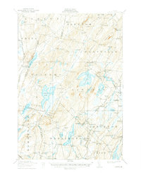
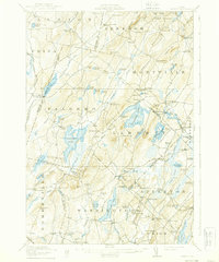
1916 Map of Liberty
USGS Topo · Published 1939About this map
Hibberts Gore stands as a distinct unincorporated territory amidst the mosaic of rural townships and ridges in this 1914 survey. The landscape is defined by the headwaters of the Sheepscot River and Medomak River, which powered early industry at sites like Woodmans Mills. This era captures the dense network of district education, with small schoolhouses such as Barlow School, Handy School, and Stone School serving isolated agricultural communities.
Find a feature on this map
128 named features on this map. Tap any name to fly to it.
Don’t see what you’re looking for? This feature index may not catch every label — zoom into the map to look around manually.
Map Details
Editions of this 1916 Liberty Map
6 editions found
Other maps of this area

1892 · Waterville
USGS Topo · 1:62,500

1893 · Vassalboro
USGS Topo · 1:62,500

1893 · Wiscasset
USGS Topo · 1:62,500

1898 · Vassalboro
USGS Topo · 1:62,500

1904 · Rockland
USGS Topo · 1:62,500

1906 · Rockland
USGS Topo · 1:62,500

1913 · Waldoboro
USGS Topo · 1:48,000

1915 · Waldoboro
USGS Topo · 1:62,500

1915 · Belfast
USGS Topo · 1:62,500

1916 · Liberty
USGS Topo · 1:62,500