
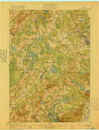
1917 Map of Belfast
USGS Topo · Published 1917About this map
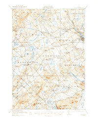
The Passagassawakeag River flows toward the harbor at Belfast, where the Maine Central Railroad meets the maritime commerce of Penobscot Bay. This survey reflects an era when coastal Waldo County was a network of tight-knit agricultural and milling communities. Inland from the bay, the landscape is defined by family-named landmarks and rural infrastructure, from the Sherman Mill in the southwest to the County Farm near the center of the sheet.
Find a feature on this map
149 named features on this map. Tap any name to fly to it.
Don’t see what you’re looking for? This feature index may not catch every label — zoom into the map to look around manually.
Map Details
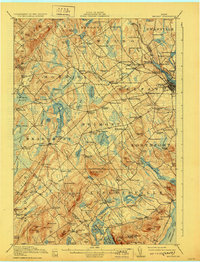
Editions of this 1917 Belfast Map
6 editions found
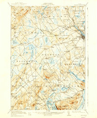
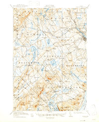
Other maps of this area

1900 · Bucksport
USGS Topo · 1:62,500

1902 · Bucksport
USGS Topo · 1:62,500

1902 · Castine
USGS Topo · 1:62,500

1904 · Castine
USGS Topo · 1:62,500

1904 · Vinalhaven
USGS Topo · 1:62,500

1904 · Rockland
USGS Topo · 1:62,500

1905 · Penobscot Bay
USGS Topo · 1:125,000

1906 · Rockland
USGS Topo · 1:62,500

1913 · Waldoboro
USGS Topo · 1:48,000

1915 · Waldoboro
USGS Topo · 1:62,500