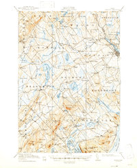
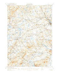
1917 Map of Belfast
USGS Topo · Published 1947About this map
The Passagassawakeag River flows toward the coast at City Point, anchoring a landscape of small interior hamlets and water-powered industrial sites during the mid-1910s. This survey by Frank Sutton and J.B. Metcalfe, Jr. illustrates the transition from coastal maritime influence to the agricultural uplands of Waldo and Knox counties. Local production is evident at sites like Holmes Mill, Poors Mill, and the Smiths Millpond Bog.
Find a feature on this map
138 named features on this map. Tap any name to fly to it.
Don’t see what you’re looking for? This feature index may not catch every label — zoom into the map to look around manually.
Map Details
Editions of this 1917 Belfast Map
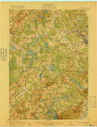
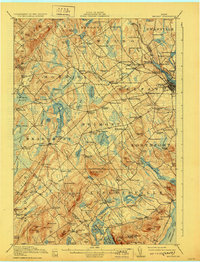
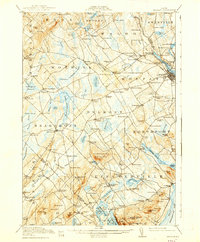
6 editions found

Other maps of this area

1900 · Bucksport
USGS Topo · 1:62,500

1902 · Bucksport
USGS Topo · 1:62,500

1902 · Castine
USGS Topo · 1:62,500

1904 · Castine
USGS Topo · 1:62,500

1904 · Vinalhaven
USGS Topo · 1:62,500

1904 · Rockland
USGS Topo · 1:62,500

1905 · Penobscot Bay
USGS Topo · 1:125,000

1906 · Rockland
USGS Topo · 1:62,500

1913 · Waldoboro
USGS Topo · 1:48,000

1915 · Waldoboro
USGS Topo · 1:62,500