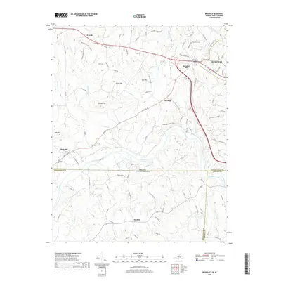
2019 Map of Brosville
USGS Topo · Published 2019About this map
The Dan River serves as the central geographic feature of this borderlands survey, where the Virginia and North Carolina state line divides the landscape. This interstate boundary separates Pittsylvania County from Rockingham and Caswell counties, creating a complex patchwork of local jurisdictions. The map captures a primarily agricultural and rural residential area anchored by Danville in the northeast and smaller settlements like Bachelors Hall and Mayfield.
Find a feature on this map
123 named features on this map. Tap any name to fly to it.
Don’t see what you’re looking for? This feature index may not catch every label — zoom into the map to look around manually.
Map Details
Editions of this 2019 Brosville Map
This is the sole edition of this map. No revisions or reprints were ever made.
Other maps of this area
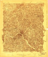
1923 · Danville
USGS Topo · 1:48,000
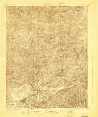
1924 · Draper
USGS Topo · 1:48,000
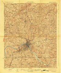
1925 · Danville
USGS Topo · 1:62,500
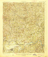
1926 · Draper
USGS Topo · 1:62,500
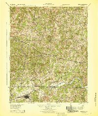
1944 · Draper
USGS Topo · 1:62,500

1953 · Greensboro
USGS Topo · 1:250,000

1954 · Greensboro
USGS Topo · 1:250,000

1962 · Greensboro
USGS Topo · 1:250,000
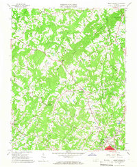
1964 · Mount Hermon
USGS Topo · 1:24,000
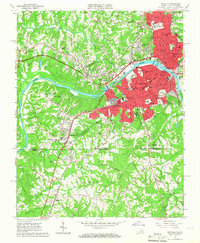
1965 · Danville
USGS Topo · 1:24,000