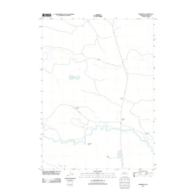
2011 Map of Brownlee
USGS Topo · Published 2011About this map
The North Loup River meanders across this Cherry County landscape, carving a green path through the Sandhills. This 2011 survey documents a pastoral region defined by established family operations, including the Richardson Ranch, Spencer Ranch, and multiple properties belonging to the Reiser family, such as the T.Reiser Ranch and W Reiser Ranch. The terrain is characterized by its hydrological features, from the flowing river to the static waters of Alkali Lake. Local navigation is anchored by Brownlee Rd, which connects these distant ranching outposts. Notable landforms like Hackberry Point rise above the river valley, providing distinct landmarks in an area where settlement is sparse and tied directly to the water and the land.
Find a feature on this map
10 named features on this map. Tap any name to fly to it.
Don’t see what you’re looking for? This feature index may not catch every label — zoom into the map to look around manually.
Map Details
Editions of this 2011 Brownlee Map
This is the sole edition of this map. No revisions or reprints were ever made.
Other maps of this area

1948 · Seneca 4
USGS Topo · 1:62,500

1949 · Seneca 4
USGS Topo · 1:62,500

1949 · Purdum
USGS Topo · 1:62,500

1949 · Long Lake
USGS Topo · 1:62,500

1951 · Long Lake
USGS Topo · 1:62,500

1951 · Purdum
USGS Topo · 1:62,500

1951 · Brownlee
USGS Topo · 1:62,500

1957 · Valentine
USGS Topo · 1:250,000

1959 · Valentine
USGS Topo · 1:250,000

1985 · Long Lake
USGS Topo · 1:24,000