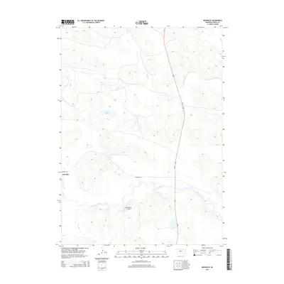
2014 Map of Brownlee
USGS Topo · Published 2014About this map
The North Loup River winds through the heart of the Sandhills in this portion of Cherry County, defining the local topography as it flows past the small community of Brownlee. The settlement serves as a focal point in a landscape otherwise dominated by the distinct geologic formations of the region, including the prominent elevation at Hackberry Point. Transportation through this expansive ranching country is anchored by Us-83, which runs north-to-south, and Brownlee Rd, which connects the namesake village to the surrounding terrain. Scattered water features like Alkali Lake dot the map, illustrating the unique hydrography of the Nebraska interior where groundwater and surface drainage create a mosaic of basins and hills.
Find a feature on this map
7 named features on this map. Tap any name to fly to it.
Don’t see what you’re looking for? This feature index may not catch every label — zoom into the map to look around manually.
Map Details
Editions of this 2014 Brownlee Map
This is the sole edition of this map. No revisions or reprints were ever made.
Other maps of this area

1948 · Seneca 4
USGS Topo · 1:62,500

1949 · Seneca 4
USGS Topo · 1:62,500

1949 · Purdum
USGS Topo · 1:62,500

1949 · Long Lake
USGS Topo · 1:62,500

1951 · Long Lake
USGS Topo · 1:62,500

1951 · Purdum
USGS Topo · 1:62,500

1951 · Brownlee
USGS Topo · 1:62,500

1957 · Valentine
USGS Topo · 1:250,000

1959 · Valentine
USGS Topo · 1:250,000

1985 · Long Lake
USGS Topo · 1:24,000