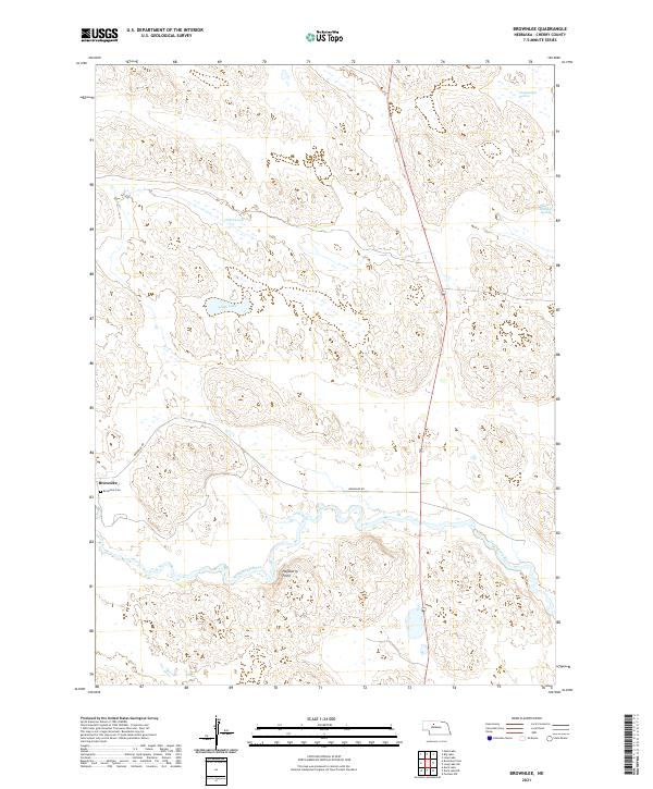
2021 Map of Brownlee
USGS Topo · Published 2021About this map
The North Loup River winds through the southern reaches of this landscape, anchoring the small settlement of Brownlee. This area of Cherry County is defined by a complex network of wetlands and seasonal water bodies typical of the Sandhills region, including Alkali Lake and the Chamberlain Swamp in the far northeast. For those researching local families, the Brownlee Cem is located just west of the main village. The terrain transitions from the river valley to the higher ground of Hackberry Point, with Brownlee Rd providing the primary corridor through the hills. The map highlights a remote environment where ranching life is dictated by the availability of water, illustrated by features like O'Brien Lake and the Reiser-Shockley Swamp.
Find a feature on this map
15 named features on this map. Tap any name to fly to it.
Don’t see what you’re looking for? This feature index may not catch every label — zoom into the map to look around manually.
Map Details
Editions of this 2021 Brownlee Map
This is the sole edition of this map. No revisions or reprints were ever made.
Other maps of this area

1948 · Seneca 4
USGS Topo · 1:62,500

1949 · Seneca 4
USGS Topo · 1:62,500

1949 · Purdum
USGS Topo · 1:62,500

1949 · Long Lake
USGS Topo · 1:62,500

1951 · Long Lake
USGS Topo · 1:62,500

1951 · Purdum
USGS Topo · 1:62,500

1951 · Brownlee
USGS Topo · 1:62,500

1957 · Valentine
USGS Topo · 1:250,000

1959 · Valentine
USGS Topo · 1:250,000

1985 · Long Lake
USGS Topo · 1:24,000