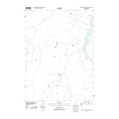
2010 Map of Browns Bench South
USGS Topo · Published 2010About this map
Salmon Falls Creek Reservoir dominates the eastern edge of this high-desert landscape in Twin Falls County, where deep drainages like Corral Creek Canyon and Browns Canyon carve through the basin and range terrain. The map reflects a long history of ranching and remote settlement, evidenced by named homesteads and outposts such as Harrell Place, China Creek Ranch, and Duncan Place. These sites are tied to reliable water sources in an otherwise arid environment, including Jim Lee Spring and Barbour Spring. Topographic features like China Mountain and Player Butte provide significant vertical relief above the flat expanses of Mud Flat. The distribution of these family-named locations and scattered springs illustrates the sparse, water-dependent settlement patterns of southern Idaho in the early 21st century.
Find a feature on this map
28 named features on this map. Tap any name to fly to it.
Don’t see what you’re looking for? This feature index may not catch every label — zoom into the map to look around manually.
Map Details
Editions of this 2010 Browns Bench South Map
This is the sole edition of this map. No revisions or reprints were ever made.
Other maps of this area

1955 · Twin Falls
USGS Topo · 1:250,000

1955 · Wells
USGS Topo · 1:250,000

1957 · Contact
USGS Topo · 1:62,500

1957 · Delaplain
USGS Topo · 1:62,500

1958 · Wells
USGS Topo · 1:250,000

1958 · Twin Falls
USGS Topo · 1:250,000

1961 · Wells
USGS Topo · 1:250,000

1977 · Browns Bench South
USGS Topo · 1:24,000

1977 · Cedar Creek Reservoir
USGS Topo · 1:24,000

1977 · Salmon Butte
USGS Topo · 1:24,000