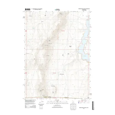
2013 Map of Browns Bench South
USGS Topo · Published 2013About this map
The high plateau of Browns Bench dominates this landscape, straddling the state line between Twin Falls County, Idaho, and Elko County, Nevada. The rugged canyon topography is defined by significant vertical relief, with China Mtn rising above deep drainages such as Deer Canyon and North Canyon. Water is a critical element in this arid environment, represented by the expansive Salmon Falls Cr Reservoir on the eastern edge and numerous isolated water sources like Jim Leo Spring, Burnt Cabin Spring, and Monument Springs.
Find a feature on this map
38 named features on this map. Tap any name to fly to it.
Don’t see what you’re looking for? This feature index may not catch every label — zoom into the map to look around manually.
Map Details
Editions of this 2013 Browns Bench South Map
This is the sole edition of this map. No revisions or reprints were ever made.
Other maps of this area

1955 · Twin Falls
USGS Topo · 1:250,000

1955 · Wells
USGS Topo · 1:250,000

1957 · Contact
USGS Topo · 1:62,500

1957 · Delaplain
USGS Topo · 1:62,500

1958 · Wells
USGS Topo · 1:250,000

1958 · Twin Falls
USGS Topo · 1:250,000

1961 · Wells
USGS Topo · 1:250,000

1977 · Browns Bench South
USGS Topo · 1:24,000

1977 · Cedar Creek Reservoir
USGS Topo · 1:24,000

1977 · Salmon Butte
USGS Topo · 1:24,000