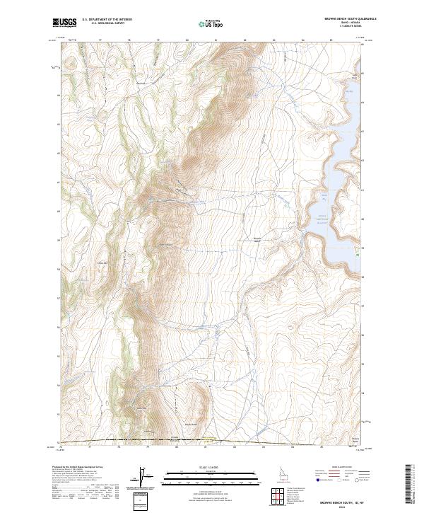
2024 Map of Browns Bench South
USGS Topo · Published 2024About this map
The high desert landscape along the Idaho and Nevada border defines this survey, where the rugged terrain of the Browns Bench plateau overlooks the deep waters of the Salmon Falls Creek Reservoir. This high-altitude drainage system is marked by a complex network of canyons, including North Canyon, Middle Canyon, and Deer Canyon, which funnel seasonal runoff toward the reservoir. Distinctive geological landmarks like China Mtn, Player Butte, and the appropriately named Steamboat rise above the surrounding flats, providing essential navigational points for those traversing the borderlands between Twin Falls County and Elko County.
Find a feature on this map
37 named features on this map. Tap any name to fly to it.
Don’t see what you’re looking for? This feature index may not catch every label — zoom into the map to look around manually.
Map Details
Editions of this 2024 Browns Bench South Map
This is the sole edition of this map. No revisions or reprints were ever made.
Other maps of this area

1955 · Twin Falls
USGS Topo · 1:250,000

1955 · Wells
USGS Topo · 1:250,000

1957 · Contact
USGS Topo · 1:62,500

1957 · Delaplain
USGS Topo · 1:62,500

1958 · Wells
USGS Topo · 1:250,000

1958 · Twin Falls
USGS Topo · 1:250,000

1961 · Wells
USGS Topo · 1:250,000

1977 · Browns Bench South
USGS Topo · 1:24,000

1977 · Cedar Creek Reservoir
USGS Topo · 1:24,000

1977 · Salmon Butte
USGS Topo · 1:24,000