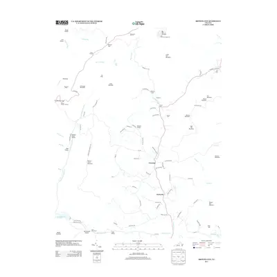
2013 Map of Browns Cove
USGS Topo · Published 2013About this map
Doylesville and Mountfair serve as the primary hubs for this rural Virginia landscape, where small crossroads communities follow the path of the Doyles River. The terrain is defined by its significant relief, rising from the valley floors toward the ridges of Big Flat Mountain and Pasture Fence Mountain. The legacy of 20th-century conservation and infrastructure is evident along the western edge, where Skyline Drive traverses the high ground near Blackrock Gap, providing access to landmarks like the Blackrock Shelter and the Loft Mountain Campgrounds.
Find a feature on this map
96 named features on this map. Tap any name to fly to it.
Don’t see what you’re looking for? This feature index may not catch every label — zoom into the map to look around manually.
Map Details
Editions of this 2013 Browns Cove Map
This is the sole edition of this map. No revisions or reprints were ever made.
Other maps of this area

1892 · Harrisonburg
USGS Topo · 1:125,000

1931 · University
USGS Topo · 1:62,500

1934 · Waynesboro
USGS Topo · 1:48,000

1935 · University
USGS Topo · 1:62,500

1937 · Elkton
USGS Topo · 1:62,500

1939 · Waynesboro
USGS Topo · 1:62,500

1941 · Harrisonburg
USGS Topo · 1:62,500

1943 · Harrisonburg
USGS Topo · 1:62,500

1949 · Charlottesville
USGS Topo · 1:250,000

1956 · Charlottesville
USGS Topo · 1:250,000