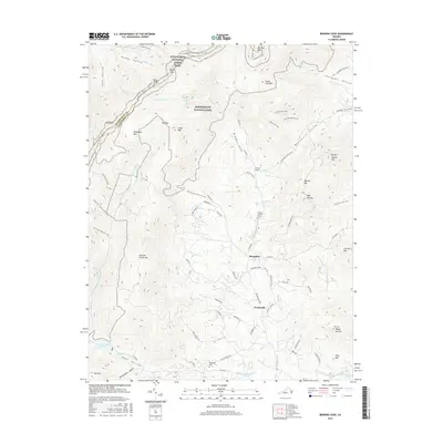
2016 Map of Browns Cove
USGS Topo · Published 2016About this map
The Blue Ridge mountains define the western boundary of this Albemarle County landscape, where the Appalachian National Scenic Trail winds through the high elevations of Shenandoah National Park. Below the ridge, the terrain transitions into a series of deeply etched valleys and hollows, such as Blackwells Hollow and Sugar Hollow, which feed the headwaters of the Moormans River. Small agricultural and residential communities like Mountfair, Doylesville, and the namesake Browns Cove are situated along the lower slopes and valley floors.
Find a feature on this map
92 named features on this map. Tap any name to fly to it.
Don’t see what you’re looking for? This feature index may not catch every label — zoom into the map to look around manually.
Map Details
Editions of this 2016 Browns Cove Map
This is the sole edition of this map. No revisions or reprints were ever made.
Other maps of this area

1892 · Harrisonburg
USGS Topo · 1:125,000

1931 · University
USGS Topo · 1:62,500

1934 · Waynesboro
USGS Topo · 1:48,000

1935 · University
USGS Topo · 1:62,500

1937 · Elkton
USGS Topo · 1:62,500

1939 · Waynesboro
USGS Topo · 1:62,500

1941 · Harrisonburg
USGS Topo · 1:62,500

1943 · Harrisonburg
USGS Topo · 1:62,500

1949 · Charlottesville
USGS Topo · 1:250,000

1956 · Charlottesville
USGS Topo · 1:250,000