2023 Map of Browns Mills
USGS Topo · Published 2023About this map
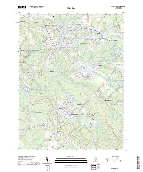
Browns Mills serves as the focal point of this Pinelands landscape, where the North Branch Rancocas Creek winds through a dense network of lakes and cranberry bogs. The map illustrates a complex water system managed for industry and recreation, featuring bodies like Mirror Lake, Country Lake, and the larger Lebanon Lake. Significant industrial history is evident in the naming of Hanover Furnace and the cranberry-producing village of Whitesbog, while the massive Fort Dix reservation dominates the northwestern quadrant. The transition from established settlements to planned communities is seen in Presidential Lakes Estates and Country Lake Estates. Southward, the terrain becomes increasingly rural, marked by old crossroads like Earlys Crossing and Ong, and the distinctive Four Mile Circle junction. The numerous named branches, such as Greenwood Branch and Bisphams Mill Creek, suggest a landscape defined by its riparian corridors and historical reliance on water power for milling operations.
Find a feature on this map
199 named features on this map. Tap any name to fly to it.
Don’t see what you’re looking for? This feature index may not catch every label — zoom into the map to look around manually.
Map Details
Editions of this 2023 Browns Mills Map
This is the sole edition of this map. No revisions or reprints were ever made.
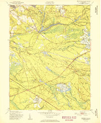
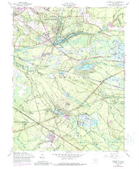
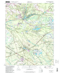
Historical Maps of Woodland Township Through Time
4 maps found
Featured Locations
- Plumsted Township, NJ
- Southampton Township, NJ
- Wrightstown, NJ
- Lebanon Lake Estates, Woodland Township
- Mount Misery, Woodland Township