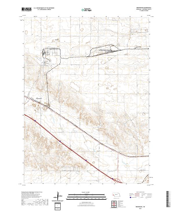
2021 Map of Brownson
USGS Topo · Published 2021About this map
Potter and Brownson anchor this section of Cheyenne County, Nebraska, where the landscape is defined by the course of Lodgepole Cr and the broad depressions of Sidney Draw. The area exhibits a organized grid of rural routes like RD 30 and RD 103, supporting a sparse settlement pattern characteristic of the High Plains. Industrial development is evident near Potter, marked by named corridors including Industrial Ave and East Ave. The map also captures the path of State Spur 17 and Kreader, highlighting the intersection of rail and road infrastructure that historically facilitated agricultural transit in this region. This detailed survey documents the exact positioning of township boundaries, such as t14n r50w, alongside local landmarks and minor drainages like Sidney Draw Rd.
Find a feature on this map
38 named features on this map. Tap any name to fly to it.
Don’t see what you’re looking for? This feature index may not catch every label — zoom into the map to look around manually.
Map Details
Editions of this 2021 Brownson Map
This is the sole edition of this map. No revisions or reprints were ever made.
Other maps of this area

1899 · Sidney
USGS Topo · 1:125,000

1954 · Scottsbluff
USGS Topo · 1:250,000

1958 · Scottsbluff
USGS Topo · 1:250,000

1972 · Gurley
USGS Topo · 1:24,000

1972 · Mud Springs SW
USGS Topo · 1:24,000

1972 · Easterly Airport
USGS Topo · 1:24,000

1972 · Lorenzo
USGS Topo · 1:24,000

1972 · Point Of Rocks
USGS Topo · 1:24,000

1972 · Brownson
USGS Topo · 1:24,000

1972 · Mud Springs SE
USGS Topo · 1:24,000