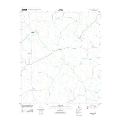
2012 Map of Brownsville
USGS Topo · Published 2012About this map
Brownsville serves as a central hub in this section of Hinds County, where modern infrastructure meets a landscape deeply rooted in family history. The terrain is defined by a dense network of waterways, including the winding Boque Falia Cr and Cox Cr, which is spanned by the Cox Creek Bridge. Small settlements like Orangeville appear alongside recreational landmarks such as White Lake and Williams Lake, illustrating the rural residential character of the area in the early 21st century.
Find a feature on this map
56 named features on this map. Tap any name to fly to it.
Don’t see what you’re looking for? This feature index may not catch every label — zoom into the map to look around manually.
Map Details
Editions of this 2012 Brownsville Map
This is the sole edition of this map. No revisions or reprints were ever made.
Other maps of this area

1903 · Jackson
USGS Topo · 1:125,000

1934 · Raymond
USGS Topo · 1:48,000

1937 · Raymond
USGS Topo · 1:62,500

1938 · Edwards
USGS Topo · 1:62,500

1940 · Mechanicsburg
USGS Topo · 1:62,500

1942 · Raymond
USGS Topo · 1:62,500

1955 · Jackson
USGS Topo · 1:250,000

1961 · Jackson
USGS Topo · 1:250,000

1962 · Jackson
USGS Topo · 1:250,000

1962 · Flora
USGS Topo · 1:62,500