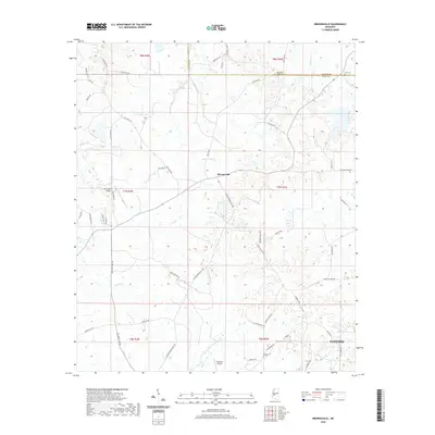
2020 Map of Brownsville
USGS Topo · Published 2020About this map
Brownsville and the northwestern reaches of Clinton anchor this landscape along the Hinds and Madison County line. The terrain is defined by a dense network of watercourses, including Boque Falia Cr and Cox Cr, which cross beneath local landmarks like the Cox Creek Bridge. This area exhibits a distinct rural character where long-established family ties are visible through features such as the Abernathy Family Cem near the northern boundary and Lula Cem to the east.
Find a feature on this map
58 named features on this map. Tap any name to fly to it.
Don’t see what you’re looking for? This feature index may not catch every label — zoom into the map to look around manually.
Map Details
Editions of this 2020 Brownsville Map
This is the sole edition of this map. No revisions or reprints were ever made.
Other maps of this area

1903 · Jackson
USGS Topo · 1:125,000

1934 · Raymond
USGS Topo · 1:48,000

1937 · Raymond
USGS Topo · 1:62,500

1938 · Edwards
USGS Topo · 1:62,500

1940 · Mechanicsburg
USGS Topo · 1:62,500

1942 · Raymond
USGS Topo · 1:62,500

1955 · Jackson
USGS Topo · 1:250,000

1961 · Jackson
USGS Topo · 1:250,000

1962 · Jackson
USGS Topo · 1:250,000

1962 · Flora
USGS Topo · 1:62,500